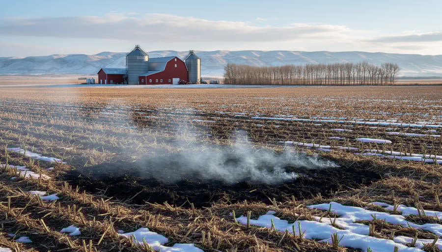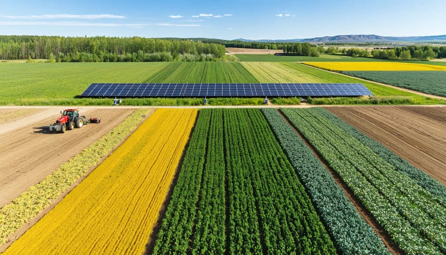
Weather and climate data have revolutionized modern farming across Alberta’s diverse agricultural landscape, transforming gut feelings into data-driven decisions that directly impact crop yields and farm sustainability. Every morning, thousands of Prairie farmers access detailed meteorological insights through advanced monitoring systems, combining historical patterns with real-time data to make crucial operational choices that can mean the difference between profit and loss.
The integration of precision weather data has become particularly critical as Alberta’s growing seasons face increasing variability. By analyzing temperature trends, precipitation patterns, and soil moisture levels, farmers now accurately predict frost risks, optimize irrigation schedules, and determine ideal planting dates with unprecedented accuracy. This technological evolution has created a new standard in agricultural risk management, where successful operations leverage both generational farming wisdom and cutting-edge climate analytics.
For Alberta’s agricultural community, weather data represents more than just numbers – it’s a powerful tool that connects atmospheric science with practical farming decisions, enabling producers to work in harmony with natural systems while maximizing productivity and protecting valuable resources. As climate patterns continue to evolve, this data-driven approach has become essential for building resilient and sustainable farming operations across the Canadian Prairies.
Real-Time Weather Insights for Alberta Farmers
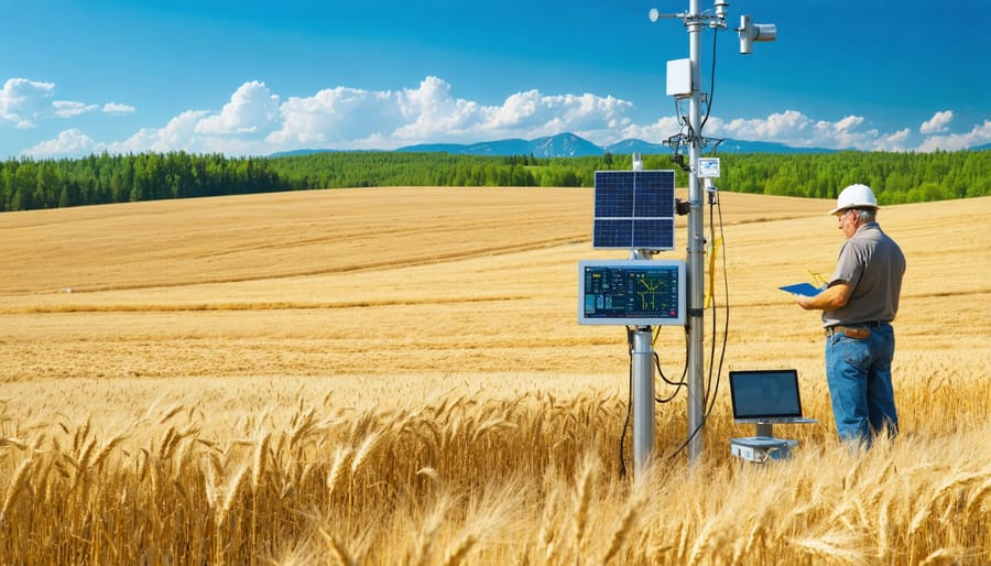
Local Weather Stations Network
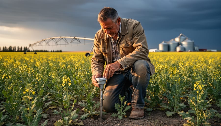
Alberta’s network of weather stations provides farmers with reliable, localized climate data essential for agricultural decision-making. The province maintains over 350 weather monitoring stations through Alberta Agriculture and Forestry’s AgroClimatic Information Service (ACIS), offering real-time access to critical weather measurements including temperature, precipitation, wind speed, and soil moisture.
Farmers can access this data through the ACIS website or mobile app, which provides both current conditions and historical weather patterns. Each station updates measurements hourly, ensuring timely information for day-to-day operations. The network’s coverage is particularly dense in agricultural regions, with stations strategically positioned to represent local microclimates.
Beyond government stations, many producer groups and agricultural research associations maintain their own weather monitoring networks, sharing data through collaborative platforms. The University of Alberta’s network contributes additional monitoring points, while Environment Canada’s stations supplement coverage in more remote areas.
To access local weather data, visit the ACIS website or download their mobile app. The service is free for Alberta producers and includes customizable alerts for weather events that could impact farming operations.
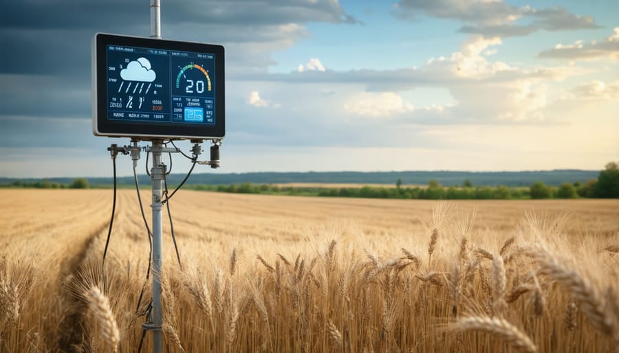
Mobile Weather Monitoring Tools
Modern farmers are increasingly turning to innovative farming technologies, with mobile weather tools becoming essential for day-to-day operations. Popular apps like WeatherFarm and FarmZone offer Alberta-specific forecasts and historical data right at your fingertips. These apps integrate with local weather stations and provide hourly updates on temperature, precipitation, and wind conditions.
Portable weather stations like the Davis Vantage Pro2 and AcuRite Atlas have become standard equipment for many Canadian farmers. These devices can be strategically placed across your property to monitor microclimates and provide real-time data through smartphone connectivity. Most units measure essential metrics including soil moisture, frost warnings, and growing degree days.
The Weather Network’s Agriculture package and Environment Canada’s Agroclimate Interface are specifically designed for Canadian farmers, offering free access to regional weather data and seasonal forecasts. These tools can be particularly valuable during critical periods like seeding and harvest, helping farmers make informed decisions about field operations and crop management.
Remember to calibrate your devices regularly and maintain backup power sources, especially during Alberta’s winter months, to ensure continuous monitoring capabilities.
Converting Climate Data into Action
Irrigation Scheduling
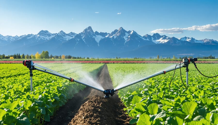
Effective irrigation scheduling using weather climate data has become a cornerstone of modern farming, with Alberta producers revolutionizing irrigation practices through data-driven decisions. By combining real-time weather information with soil moisture data, farmers can optimize water usage while maintaining crop health.
Key factors to consider include daily precipitation, evapotranspiration rates, and soil moisture content. Modern weather stations provide these metrics, allowing farmers to calculate precise irrigation needs. For instance, many Alberta grain producers use soil moisture probes alongside weather forecasts to determine optimal irrigation timing, typically saving 20-30% on water usage compared to traditional scheduling methods.
The most successful approach involves creating weekly irrigation schedules based on 7-day weather forecasts, then adjusting daily as needed. Local agricultural extension services recommend irrigating during early morning or evening hours when evaporation rates are lowest. This strategy helps conserve water while ensuring crops receive adequate moisture during critical growth stages.
Remember to factor in crop-specific water requirements and growth stages when interpreting weather data for irrigation planning. Your local agricultural office can provide detailed guidelines for specific crops common to your region.
Frost Protection Strategies
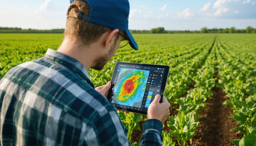
Weather forecasts serve as a crucial tool in protecting crops from frost damage, particularly during Alberta’s unpredictable spring and fall seasons. By monitoring temperature trends and frost warnings through Environment Canada’s agricultural forecasting services, farmers can implement timely protective measures to safeguard their investments.
Key strategies include using row covers and frost protection fabrics when temperatures are predicted to drop below 0°C. These materials should be applied before sunset to trap ground heat effectively. For orchards and vineyards, wind machines can be activated based on temperature forecasts to mix warmer upper air with colder ground-level air, providing crucial protection during frost events.
Many Alberta farmers have found success with automated irrigation systems that activate based on weather data triggers. When forecasts predict frost, these systems can provide a protective water layer that shields plants through the freezing process. Local success stories include a Red Deer County farmer who saved 90% of his apple crop during an unexpected spring frost by implementing a forecast-based protection plan.
Remember to check both short-term and extended forecasts daily during critical growing periods. Modern weather stations can now send alerts directly to your mobile device, allowing for quick response times when frost threatens your crops.
Pest Management Timing
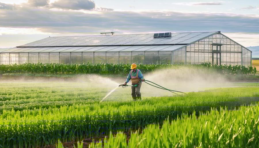
Weather data plays a crucial role in implementing effective climate-adaptive pest control strategies on Canadian farms. By monitoring temperature, humidity, and precipitation patterns, farmers can better predict pest emergence and optimize treatment timing. For instance, many insect pests become active when temperatures consistently reach above 10°C, while fungal diseases often develop during periods of high humidity and moderate temperatures.
Alberta farmers have found success using degree-day calculations to anticipate pest lifecycles. These calculations help determine optimal spray windows and reduce unnecessary pesticide applications. For example, canola producers track accumulated heat units to predict flea beetle activity in spring, allowing for more precise timing of control measures.
Modern weather stations and soil moisture sensors provide real-time data that helps farmers make informed decisions about pest management. When combined with historical climate records, this information creates a powerful tool for developing proactive control strategies. Many producers now use smartphone apps that integrate local weather data with pest monitoring alerts, enabling quick response to emerging threats.
By aligning pest control activities with weather patterns, farmers can improve treatment effectiveness while reducing costs and environmental impact. This approach has become increasingly valuable as Alberta’s climate continues to evolve.
Climate Data for Long-Term Planning
Crop Selection and Rotation
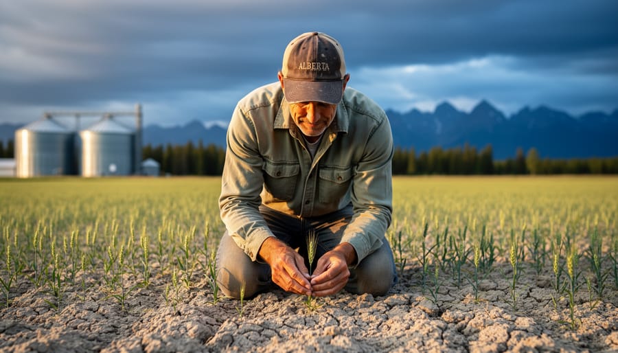
Making informed decisions about climate-resilient crop selection is crucial for successful farming in Alberta’s diverse weather conditions. By analyzing historical climate data and current weather patterns, farmers can optimize their crop rotation strategies and maximize yields while minimizing risks.
For the Prairie region, wheat, canola, and pulses have traditionally performed well, but changing climate patterns are opening opportunities for new crop varieties. When selecting crops, consider factors such as growing degree days, frost-free periods, and seasonal precipitation trends. For instance, areas experiencing longer growing seasons might now support corn or soybeans, which were previously challenging to grow in certain parts of Alberta.
Effective rotation planning should account for both short-term weather forecasts and long-term climate projections. A well-designed three to four-year rotation can help manage soil moisture, reduce pest pressures, and improve overall farm resilience. Consider including drought-tolerant varieties in your rotation as insurance against dry years.
Local success stories show that farmers who adapt their crop selections based on weather data typically see improved yields and better risk management. The key is to maintain flexibility in your rotation plans while staying informed about seasonal forecasts and climate trends specific to your region.
Remember to consult with local agronomists and farming networks when making crop selections, as they often have valuable insights into which varieties perform best under local conditions.
Infrastructure Investment
Making informed infrastructure investments based on climate data can significantly enhance farm resilience and productivity. Many Alberta farmers are leveraging long-term weather projections to make strategic decisions about building placement, drainage systems, and equipment storage facilities.
Consider the experience of Jim Peterson, a third-generation farmer near Lethbridge, who used historical precipitation data to design an innovative water management system. By analyzing 30-year rainfall patterns, he positioned storage ponds and drainage channels to maximize water capture during wet periods and minimize erosion during heavy storms.
When planning new infrastructure, focus on these key climate factors:
– Average seasonal temperature variations
– Prevailing wind directions and speeds
– Precipitation patterns and intensity
– Frequency of extreme weather events
– Soil moisture trends
Infrastructure investments should prioritize flexibility and adaptability. For example, modern grain storage facilities can be designed with improved ventilation systems to manage moisture levels across varying weather conditions. Protected corridors between buildings can maintain operational efficiency during severe weather, while strategic windbreaks can shield sensitive infrastructure from damaging winds.
Local agricultural extension offices provide valuable climate data interpretation services to help farmers make informed infrastructure decisions. Many successful Alberta operations have found that consulting with agricultural engineers who understand regional climate patterns leads to more resilient and cost-effective infrastructure solutions.
Success Story: Alberta Farm Weather Integration
The Wilson Family Farm, located just outside of Leduc, Alberta, demonstrates how effective integration of climate data tools can transform agricultural operations. Sarah Wilson, a third-generation farmer managing 2,500 hectares of canola and wheat, implemented a comprehensive weather monitoring system in 2019 that has since revolutionized their decision-making process.
“Before implementing our climate data system, we were essentially making educated guesses about timing our seeding and harvest operations,” explains Sarah. “Now, we have precise data that helps us make informed decisions that directly impact our yield and efficiency.”
The farm’s success story began with the installation of three weather stations across their property, connected to a central database that processes real-time temperature, precipitation, and soil moisture data. This system, combined with historical climate data from Environment Canada, enables the Wilsons to create detailed microclimate maps of their property.
The results have been remarkable. In the first year alone, the Wilsons reported a 15% increase in yield efficiency, primarily through better-timed planting and harvesting operations. They also reduced their irrigation water usage by 20% by precisely tracking soil moisture levels and local precipitation patterns.
One of their most significant achievements came during the challenging 2021 growing season, when much of Alberta faced severe drought conditions. Using their climate data system, the Wilsons adjusted their irrigation schedule based on precise evapotranspiration readings and soil moisture data. This strategic approach helped them maintain crop health while conserving water resources.
The system has also proven valuable for frost prevention. “Last spring, our sensors detected a rapid temperature drop in our lower fields,” Sarah notes. “We were able to activate our frost protection measures two hours before our neighbors even realized there was a risk. This saved approximately 40% of our early-season canola crop.”
The Wilsons now share their weather data with neighboring farms, fostering a collaborative approach to climate-smart agriculture in their community. They host regular workshops demonstrating how other farmers can implement similar systems, scaling them according to their operation size and budget.
The initial investment of $15,000 in weather monitoring equipment has paid for itself several times over through improved crop yields, reduced input costs, and better risk management. The Wilsons’ experience shows that integrating climate data into farm operations isn’t just about technology – it’s about building resilience and sustainability in modern agriculture.
As we’ve explored throughout this guide, weather and climate data have become invaluable tools for Alberta’s agricultural community. By implementing these data-driven strategies, you’re not just making educated guesses – you’re making informed decisions that can significantly impact your farm’s productivity and sustainability.
Remember that starting small is perfectly acceptable. Begin by incorporating basic weather monitoring into your daily routine, then gradually expand to more sophisticated climate data applications as your comfort level grows. Many of your fellow Alberta farmers have already seen remarkable results, from reduced water usage to improved crop yields, simply by taking that first step.
The agricultural community in our region has always been resilient and adaptive. By embracing weather and climate data tools, we’re building on this tradition while preparing for future challenges. The support network is already in place – from local agricultural extension offices to experienced farmers who’ve successfully integrated these technologies into their operations.
Take advantage of the resources available to you, connect with other farmers who are on similar journeys, and don’t hesitate to reach out to agricultural experts in your area. The future of farming in Alberta is data-informed, community-driven, and sustainable. Your participation in this evolution not only benefits your operation but contributes to the broader strength of Canadian agriculture.
Let’s move forward together, using weather and climate data to cultivate not just better crops, but a more resilient agricultural future for Alberta.