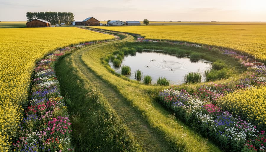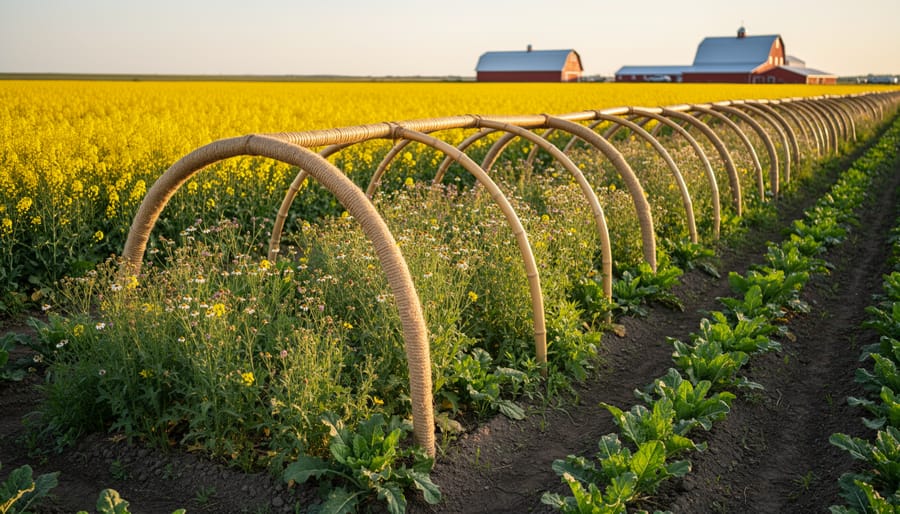
Balancing high productivity of fields and environmental responsibility is probably the main challenge for today’s farmers. And the only way to battle the rising challenges like climate change, soil degradation, or high input costs is to adopt major shifts and find more innovative and greener solutions.
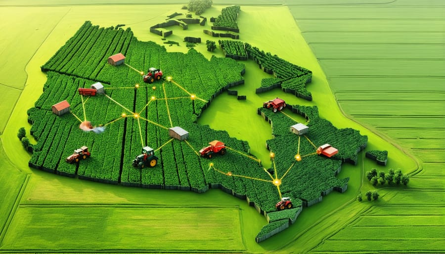
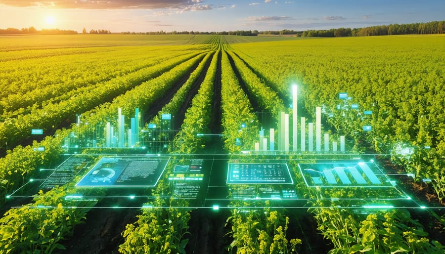
Due to the development of technologies, we have today such agriculture trends as precision irrigation, cover cropping, and organic soil management, which have become possible, reshaping traditional farming practices. The Normalized Difference Vegetation Index (NDVI) complements the set of innovative tools, so that farmers choose NDVI software to receive valuable crop health insights based on satellite and drone information. What’s more important, this data is available to farmers of any scale, from local small farmers to giant enterprises.
Sustainable Farming: The New Standard
Organizations like USDA and FAO determine modern technologies not as just “green trends” but as the current reality that redefines how food is grown. But why have these innovations become so urgent? According to the United Nations report, the Earth’s population will continue growing for the next 50 to 60 years, peaking at approximately 10.3 billion by the mid-2080s. As a result, the next step for supply chains is a must, and food production must increase by nearly 60%. This challenge is especially tough in the face of climate change, soil degradation, and shrinking water reserves.
This is where crop management technologies, such as NDVI analysis, play a critical role. Just a decade ago, field operations and crop analytics included only on-ground operations. Today, farmers have more information sources, including satellite data, drones, sensors, historical data that allows them to adjust planting, irrigation, and nutrient use. As a result, we have 9% better yields, 25% cut water usage, and reduced pesticide implementation. Such innovations make agriculture more adaptive and resilient.
NDVI: A Key Driver of Sustainable Farming
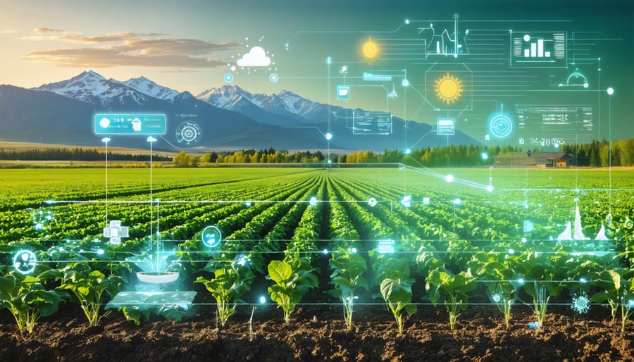
NDVI imagery is an advanced monitoring tool that has already stepped far beyond traditional agriculture methods. It uses satellite or drone images to show how healthy plants are by analyzing how they reflect visible and near-infrared light. The necessity for it has risen from a set of challenges that farmers face:
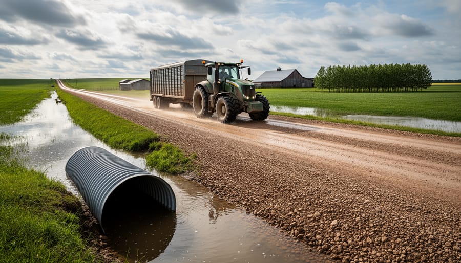
- Climate instability – Due to unpredictable rainfall and prolonged droughts, planting schedules are disrupted and farmers can not consistently plan their yields. For example, droughts in the U.S. Midwest in 2023 slashed corn production by more than 20%, while heatwaves in Southern Europe scorched wheat crops, reducing exports.
- Soil degradation – Continuous monocropping in regions like India’s rice-wheat belt has depleted organic matter and micronutrients, lowering soil fertility and forcing higher reliance on synthetic fertilizers.
- Water scarcity – Agriculture uses nearly 70% of global freshwater according to the UN statistics, and in California’s Central Valley, declining groundwater levels have already forced growers to leave thousands of acres unplanted each year.
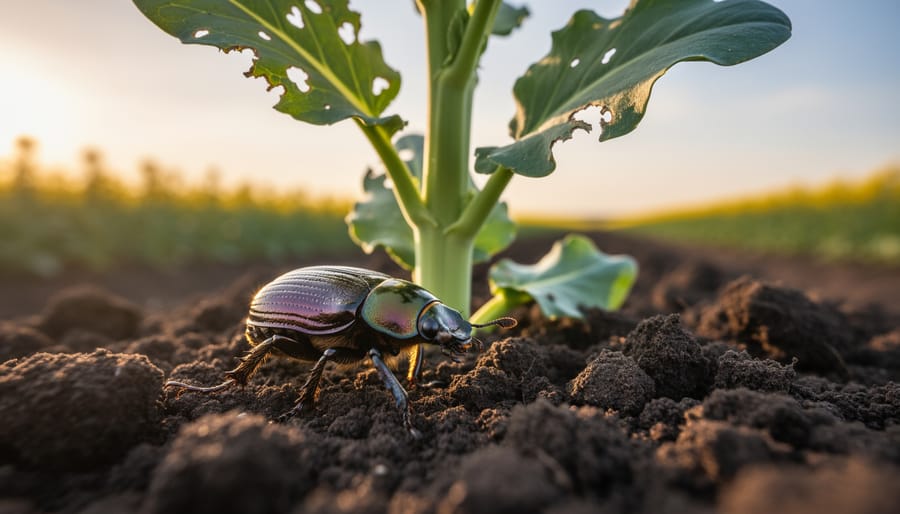
- Pests and diseases – Shifting weather patterns have expanded the range of destructive pests like the fall armyworm, which has caused up to 40% maize yield losses in parts of Africa.
- Rising input costs – The World Bank declared that fertilizer and fuel prices surged by more than 80% in 2022, squeezing farm profits and increasing the need for precise resource allocation.
These challenges make clear that sustainable growth depends on smarter, data-driven strategies. The next step is exploring how NDVI turns these pressures into opportunities, helping farmers boost efficiency, reduce waste, and strengthen long-term resilience.
Green Trends Driving Adoption
The shift toward greener, smarter agriculture has made tools like NDVI indispensable for farms of all sizes. By analyzing the NDVI formula, which compares how crops reflect near-infrared and visible light, farmers gain precise insights into plant health that drive better decisions and sustainable growth.
Key benefits and solutions include:
- Data-driven decision-making – quantifiable metrics and NDVI maps make it clear for farmers where to allocate water, fertilizers, and labor.
- Risk mitigation – early detection of water stress, nutrient deficiencies, or disease enables proactive interventions, reducing yield losses and protecting profits.
- Enhanced sustainability – farm operation can now be aligned with environmental goals due to optimized chemical use, while costs are minimized as well.
- Yield forecasting – Consistent monitoring with NDVI helps predict yields more accurately, supporting better financial and market planning.
- Competitive advantage – In markets where efficiency defines success, NDVI-driven management provides an edge by improving productivity while reducing waste.
The Future of Agriculture with NDVI
NDVI and smart agriculture software continue reshaping farming. Today, more thoughtful planning, precise vegetation satellite data, and NDVI software can be used, whether on small family farms or in large-scale agribusiness. As a result, we have not only improved yields but also a massive contribution to global sustainability goals.
Looking ahead, advances in sensor design, calibration, and better satellite imagery resolution are the next step. With this more accurate data, new technologies, such as red-edge and shortwave infrared sensors, enhance the classic NDVI formula by detecting subtle signs of crop stress and early chlorophyll changes.
Combining NDVI with machine learning and complementary vegetation indices also tailors crop insights to specific field conditions. With better cloud platforms and high-resolution satellite imagery, NDVI is becoming faster, sharper, and more actionable – ensuring its relevance for the future of precision agriculture.